Home ○
Regions ○
Planning & Info ○
RVing ○
Road Logs ○ Insurance ○ Photos ○
Mexico News ○
Ontheroadin
![]()
|
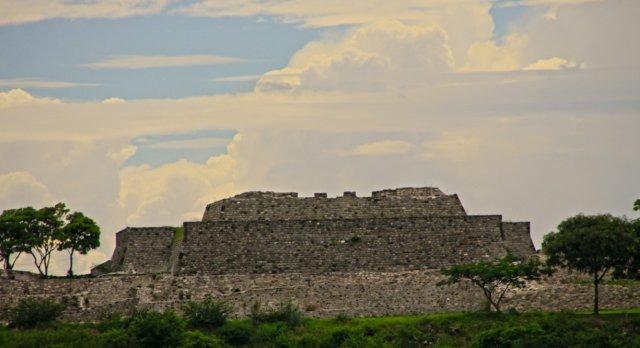
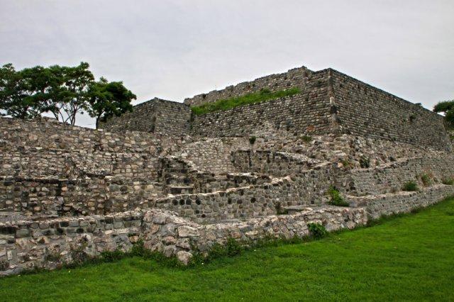
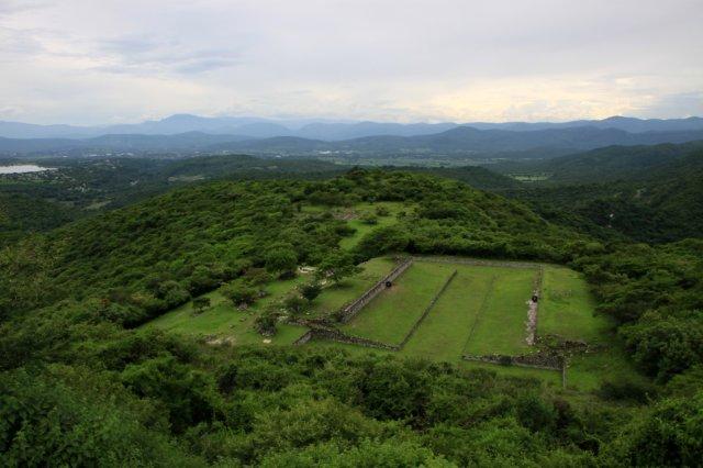
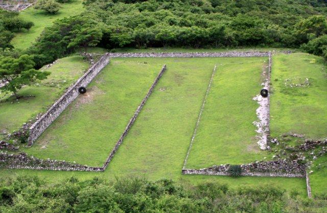
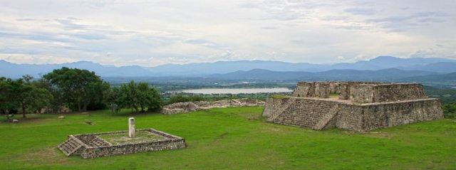
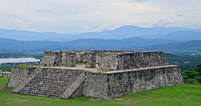
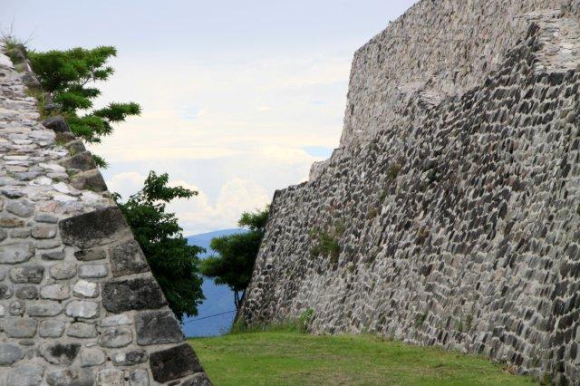
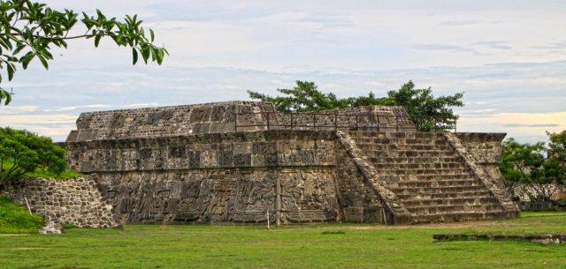
Xochicalco Ruins Photography by Bill and Dot Bell
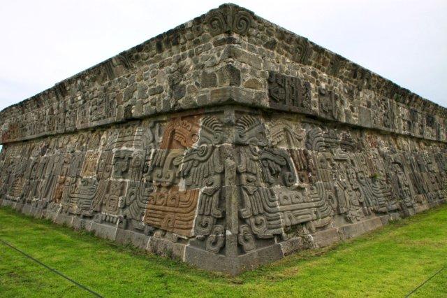
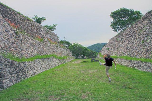
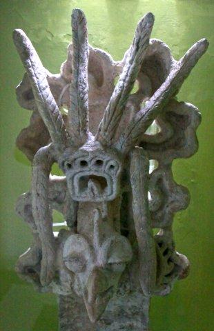
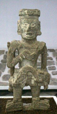
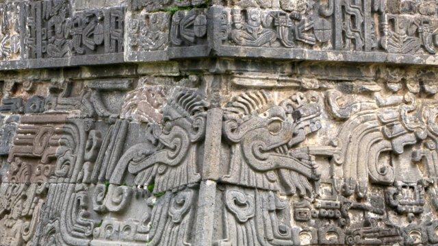
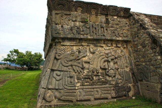
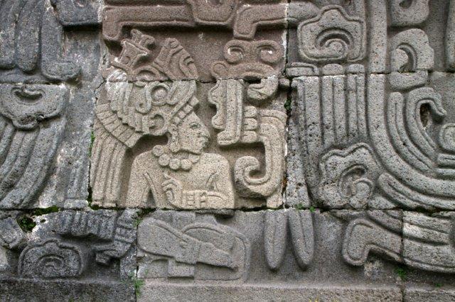
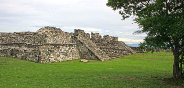
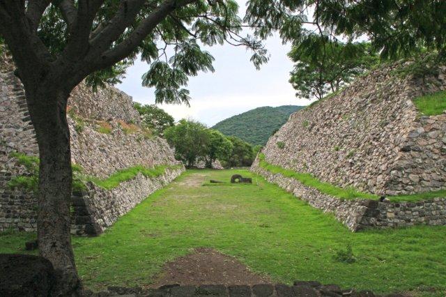
Xochicalco is a pre-Columbian archaeological site in the Municipality of Miacatlán in the western part of the Mexican state of Morelos. The name Xochicalco may be translated from Nahuatl as "in the (place of the) house of Flowers". The site is located 38 km southwest of Cuernavaca, about 76 miles by road from Mexico City. The site is open to visitors all week, from 10am to 5pm, although access to the observatory is only allowed after noon. The apogee of Xochicalco came after the fall of Teotihuacan and it has been speculated that Xochicalco may have played a part in the fall of the Teotihuacan Empire. The architecture and iconography of Xochicalco show affinities with Teotihuacan, the Maya area, and the Matlatzinca culture of the Toluca Valley. Today some residents of the nearby village of Cuentepec speak Nahuatl. The main ceremonial center is atop an artificially leveled hill, with remains of residential structures, mostly unexcavated, on long terraces covering the slopes. The site was first occupied by 200 BC, but did not develop into an urban center until the Epiclassic period (AD 700 - 900). Nearly all the standing architecture at the site was built at this time. At its peak, the city may have had a population of up to 20,000 people.
|
*
|
|
What You Should Consider for Your Visit |
|
On the Road In - Mexico
editor@ontheroadin.com
